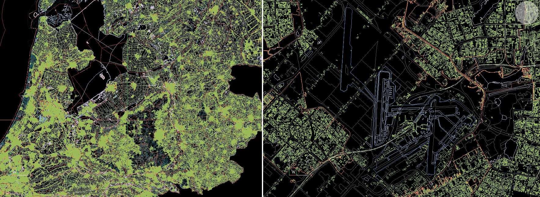
Crushing big size topo files.
I am working on some gis data covering the whole country. Files sizes grow up tot 700 MB (per 'layer').
Any good ideas how to compress and manage this are welcome

Comments
-
Other than adding additional RAM to the machine, the first thought that comes to mind would be to create a rectangular grid over it and break/wblock the content into smaller more digestible tiles. Then you could work in a single tile much faster. A master drawing could xref all the tiles if you needed to see / plot them all.
0 -
That is exactly what i did

Broke it down, per region.
This sspoly routine was quite useful.0 -
Most GIS software has a turn off at scale function so reduces the amount of data, for city maps we made sure road names heirarchy was top level only main roads, house lots, boundary, st numbers etc were set to off. It sounds like you just have to much turned on in the original export. As suggested like grids maybe the dwg can be layered into new drawings, so relevant layers only are used, as you get further in scale can load more xref layers. Do you need services, just guessing what is turned on.
0 -
@ALANH said:
Most GIS software has a turn off at scale function so reduces the amount of data, for city maps we made sure road names heirarchy was top level only main roads, house lots, boundary, st numbers etc were set to off. It sounds like you just have to much turned on in the original export. As suggested like grids maybe the dwg can be layered into new drawings, so relevant layers only are used, as you get further in scale can load more xref layers. Do you need services, just guessing what is turned on.You could mimic this by using
LAYERSTATE. Each Layer state would be set to control the (freeze/thaw layers) amount of detail that you want to show.Regards,
Jason Bourhill
BricsCAD V21 Ultimate
CAD Concepts0


