Layer not showing after import to Leica Total Station ts16

Hi, I've added surveyed points (in red) on to a plan of a car park (in white, as per screenshot here),
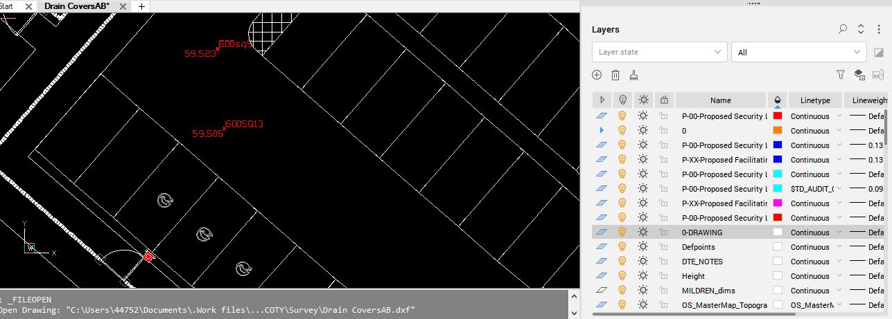
saved it as .dxf and imported to the ts16 and only the surveyed points show; i need all the info to show. Can anyone please suggest why this isn't happening?
I've tried wblock'ing it then saving as .dxf, but no different result.
Comments
-
I worked previously for Topcon but one of the simplest ways to get points into a total station is to make a CSV points file. If the points you want are on a layer its easy. If you want say pline/line points that can be done also.
Have you contacted Leica that would be my 1st step ?
1 -
Agree with Alan. Export an XYZ file with codes and import into your TS.
Are you importing text into the TS as well as lines and nodes?
I've an option to export/ import text along with the dxf.
I'm thinking that option hasn't been ticked on.1 -
no text. just points and lines. importing another stripped out setting out plan into the ts16 now and zero points, lines are importing….
0 -
Couple of other thoughts.
Have you opened the dxf in Bricscad? Does it open okay?
What version of dxf can the TS accept. That said not sure if dxf has "versions" like dwg?
I'm not familiar with Leica gear.
I run Field Genius, also Carlson. Both data recorder programs.
Both have that option I mentioned to accept linework and text.
But equally I have the option to turn layers off in the data recorder.Is there any chance you have xref present? Just thinking wildly now.
What are your units? Mm or metres? I've had designs sent to me in mm. That sends things crazy.
Edit. I see yours is a robotic so that means a data recorder.
0 -
Dxf support multiple versions I would export like a R9 version as a simplest version and try it.
0
