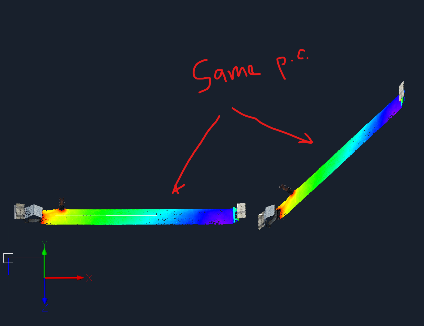
Point cloud color Map (elevation)

How i can change relative to the axis?
For example:
- Today i need to work with landscaping and it is meaning i need work with elevation (relative to the axis Z).
- Tomorrow i need to work with facades and its need relative to the axes X and Y.
I know about tool POINTCLOUDDEVIATION, but its unuseful in basically workflow.
It is need to make it so that you can choose what the "elevation" is considered relative to (WCS/UCS, axis)
Also i did not find the way to any change elevation "image" of inserted pointcloud, i mean, the display does not depend on the orientation of the current point cloud in the drawing.
Comments
-
hi,
this is indeed not possible elevation colormap values can be set relative to the coordinates of the points in the dataset.
Could you create a support request if you need this?
kind regards
0 -
Setting the elevation relative to UCS is something I also need to do, as it is hugely beneficial for drawing elevations. This has been a function for years in other point cloud plugins - please implement this Bricsys!
1