TIN size

I made a TIN which has a filesize of 40 MB.
My map image is only 0.5 MB
Why does this result in TINASSIGNIMAGE with 120 MB?
How does it work?

Comments
-
How does it work?
Apparently it's not very efficient, perhaps it's storing a portion of the image on (for) each triangle? You might try saving a copy as .DXF to see if that's large and if so, you can drop that into a NotePad to see what's taking so much space.
We did something like that (in code) over in ACAD which involved only a PolygonMesh and an image file that was assigned as a 'material'. The image file had to remain in the folder, it didn't get embedded in the drawing.
 0
0 -
I was thinking the same thing.
But,.. i did the same trick with TINASSIGNIMAGE with material / inmage / 1:1 with all the handling.
That **seems ** a far less size consuming (processing power consuming) method.
I would like to know hao it works to know the boundaries for workable sized data models. 'bims'0 -
One thing to watch for is a file accompanying your .DWG, something like FileName_####.bin where #### is some numbers. The .BIN file (if it exists) has to count as part of the .DWG.
I took my MtStHelens files and produced a very dense TIN (over 1m points) from Lidar, then assigned the image.
Original DWG: 2,058kb
Original JPG: 10,561kb
12,611
AfterTin DWG: 105,285kb
AfterImg DWG: 145,072kb---------- BsysCvDbTinSurface -------------
Number of points: 1078695
Number of triangles: 2157197
Minimum elevation: 775.020000
Maximum elevation: 2526.250000
2D area: 95675822.471800
3D area: 106106597.705195So as you can see, the data burden grew significantly after adding the TinSurface, then grew yet again after adding the image. The BricsCAD process is less than optional. However, drive space is fast and cheap, so accept it and proceed?
0 -
Just a quicky saved blank dwg got size, added 2000 "POINT" compared and got 13 Bytes per point. So it went from 13kb to 40kb. So a triangle is 3 points of data maybe more so my quick calc using 107k points * 4 * 2 = 120mb obviously more info saved so the sizes seem right.
I am old enough dealing with CIVIL design for like 40 years the use now of drone and surface data instead of 10,000 points is in the millions now so expecting a 10,000 point performance and size is no longer the norm.
0 -
TINASSIGNIMAGE creates new material from selected image and assign it to the TIN surface. Command also sets material transformation parameters so that TIN material exactly matches selected image. If you run MATERIALS command you will find newly created TIN material in the material library (TIN_xxx_Material).
TIN surface is derived from MESH entity (AcDbSubDMesh) and material is assigned to the whole entity, not to individual triangles.
Hans, any chance to provide your dataset? I have tested TINSASSIGNIMAGE on similar example and cannot repeat this issue, dwg is almost the same size. I assume dataset is large, you can send download link to andrej.kogovsek@hexagon.com
Andrej
0 -
I send you files Andrej !
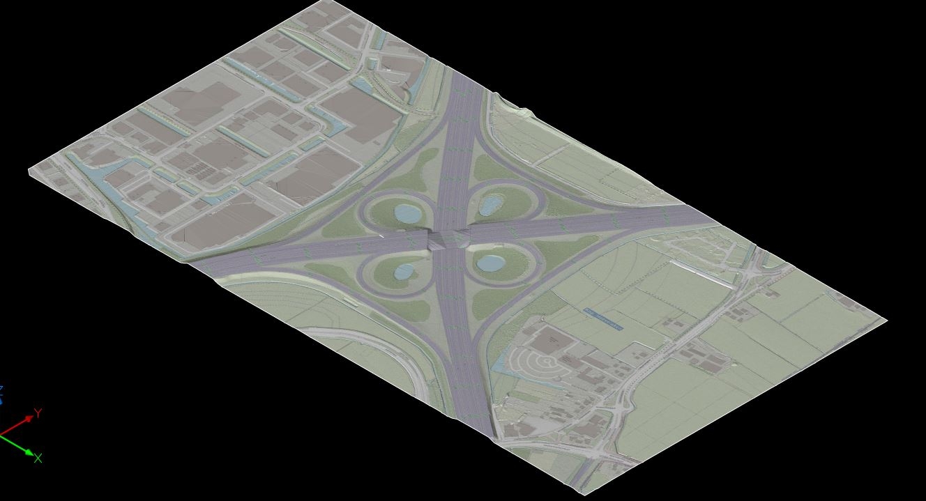
Also, here is a view of the other part of socalled AHN4 for the Netherlands
One part is the ground surface, this part is de filtered scan data.
If you combine them you get a great reality capture. Running on the limits of what's possible..0


 https://youtu.be/vn5BNBjZZqE